| Home > All By Location regional map > Glassport > Malady - Elizabeth Bridge | ||||||
|
|
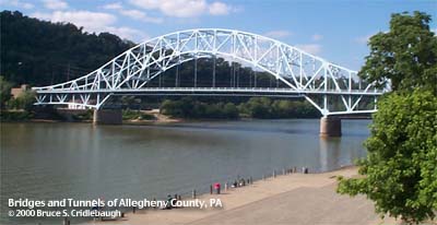
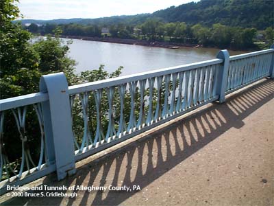
View northwest (downstream)
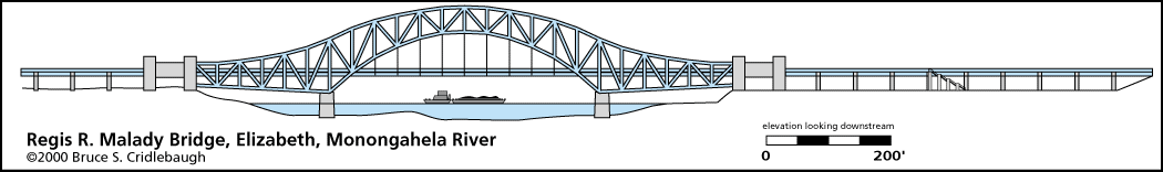
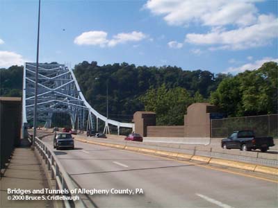
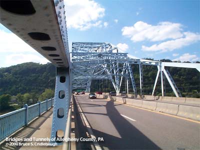
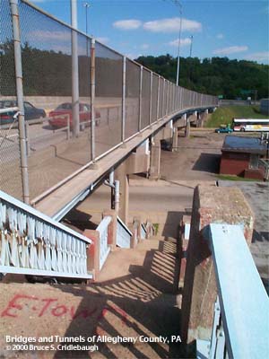
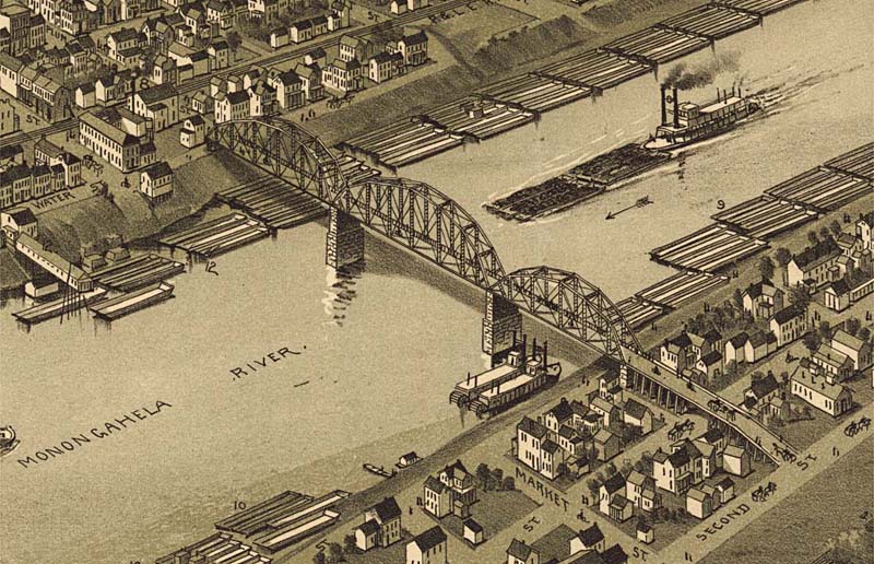
OFFICIAL NAME: Regis R. Malady Bridge OTHER DESIGNATION: Elizabeth Bridge glas564-21 LOCATION: Elizabeth Borough - West Elizabeth USGS 7.5" Topo Quad - UTM Coordinates: Glassport - Zone 17; 0594 4458 CARRIES: motor vehicles, four lanes divided PA51 sidewalks both sides BETWEEN: -- right descending bank of Monongahela River; PA51; McKeesport Rd and Market St, Elizabeth -- left descending bank of Monongahela River; PA51, Clairton Blvd; PA837 [State St, Jefferson Hills; Fifth St, West Elizabeth] CROSSES: -- (RDB to LDB) McKeesport Rd grade separation; North Third St; North Second St; North First St and CSX [PLE RR]; North Water St; Monongahela River at mile 22.8; First St; NS RR [Conrail]; PA837 grade separation TYPE OF CONSTRUCTION / DESIGN: Cantilever arch through truss (continuous truss); deck steel girder viaduct LENGTH OF MAIN SPAN: 434.5 ft TOTAL LENGTH (including longest elevated ramp): HEIGHT OF DECK: 50.0 ft, vertical clearance, channel span (52 ft wide) Lock and Dam No. 2, Braddock, normal pool level 718.7 ft YEAR ERECTED / ENGINEER: Main span completed October 1950; opened to traffic 1951 Superstructure erected by Fort Pitt Bridge Works ADDITIONAL INFO: The trussed arch superstructure imitates Gustav Lindenthal's Hell Gate Bridge, as do the channel span of the McKees Rocks Bridge over the Ohio River and the Belle Vernon - Speers bridge carrying I-70 over the Monongahela River 20.5 miles upstream from this location -- the latter superstructure also erected by Fort Pitt Bridge Works immediately after this bridge at Elizabeth. Read the Field Notes for description of this bridge and an attempt to determine its age just by looking at it. This bridge replaced an 1893 structure which used three camelback trusses to cross at Plum St. FIELD CHECKED: 03-June-2000 INFO SOURCES: USACE Monongahela River Nav. Charts; Washington Observer, 10/11/1950 Submit info or inquiry - share some facts or ask a question. Introduction -- Nearby Structures Page created: 16-June-2000 Last modified: 18-June-2013 |
View Larger Map 
| ||||
| copyright: © Bruce S. Cridlebaugh 1999-2008 All Rights Reserved | ||||||