| Home > All By Location regional map > Pittsbugh East > Wilmot St Bridge 1907 | |||
|
|
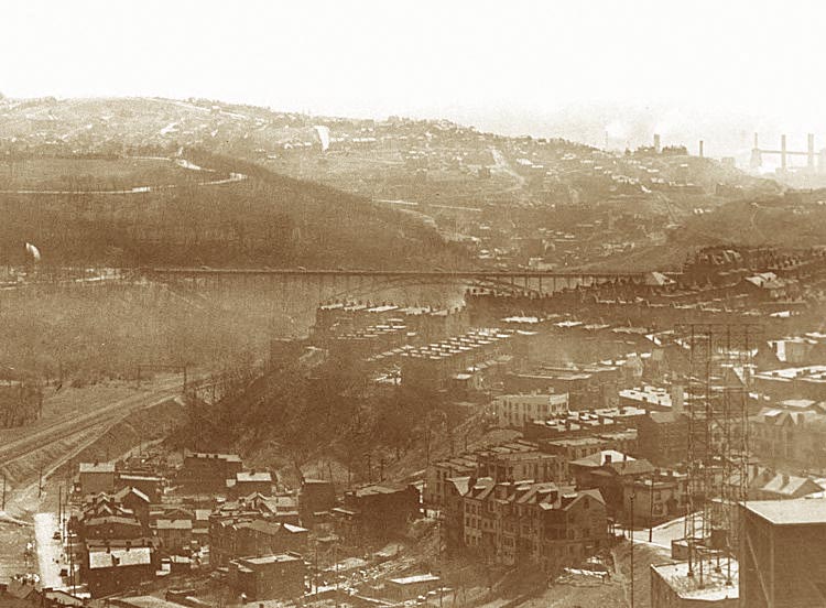
1936 photo More detail photos OFFICIAL NAME: OTHER DESIGNATION: Wilmot St Bridge LOCATION: Pittsburgh (Oakland - Schenley Park) USGS 7.5" Topo Quad - UTM Coordinates: Pittsburgh East - Zone 17; 0589 4776 CARRIED: Wilmot St [now part of Blvd of the Allies] BETWEEN: -- CROSSED: -- Boundary St; Four Mile Run; Pittsburgh Junction RR [CSX] TYPE OF CONSTRUCTION / DESIGN: deck arch LENGTH OF MAIN SPAN: TOTAL LENGTH (including longest elevated ramp): HEIGHT OF DECK: YEAR ERECTED / ENGINEER: 1907 Fort Pitt Bridge Works ADDITIONAL INFO: The terrain on the eastern and northern borders of Schenley Park blend easily into the Shadyside and Squirrel Hill neighborhoods. But toward the south and west a total of four bridges would be required. The first two crossings were completed over Junction Hollow and Panther Hollow in 1897. In 1907, an arch bridge was built to connect Wilmot St in South Oakland. This has since been replaced by the Charles Anderson Bridge with its 1940 Weichert truss. The fourth bridge is the Beechwood Blvd Bridge, also known as the Greenfield Bridge named for the neighborhood to which it links. It was the last of the original four bridges into the park, completed in 1923. As suggested in the 1911 plan by Fredrick Law Olmsted, a series of city streets were widened and linked to create the Boulevard of the Allies around 1921. These included Second Av in downtown, Bluff St near Duquesne University, part of Halket St and Wilmot St in South Oakland. Near Bates St an arch bridge crossed a ravine to link Halket St with a leg of Wilmot St which is now the Blvd of the Allies between Bates and the George Anderson Bridge. Part of Wilmot St was renamed Parkview Av where it turned south near the bridge over Junction Hollow. Adjacent to the north of the 1940 Anderson Bridge, cut stone remains of the abutments stand like small monuments. The angled forms show where the bearings would have received the mass of the arches. The small towers have been adopted by rock-climbing enthusiasts who have tacked metal anchor loops to the stone. FIELD CHECKED: 02-Oct-2000 INFO SOURCES: Submit info or inquiry - share some facts or ask a question. Introduction -- Nearby Structures Page created: Last modified: 14-Nov-2000 |
View Larger Map 
| |
| copyright: © Bruce S. Cridlebaugh 1999-2008 All Rights Reserved | |||